Conservation technologies are transforming how we monitor wildlife and protect the environment. Drones provide real-time data on animal populations and help with reforestation by efficiently planting seeds. Satellites monitor land use changes and detect illegal activities like poaching. GPS technology tracks animal movements, revealing vital migration patterns. While these innovations present challenges, they pave the way for more effective conservation efforts. Discover more about these exciting advancements and their impact on our ecosystems.
Key Takeaways
- Drones enhance wildlife monitoring by providing real-time data and high-resolution imagery while minimizing disturbance to animals.
- Satellite imagery tracks land use changes, habitat health, and illegal activities, aiding in effective conservation strategies.
- GPS technology enables precise tracking of wildlife movements, informing conservation efforts and identifying critical habitats.
- Innovative technologies like virtual reality and blockchain promote community engagement and transparency in conservation initiatives.
- Emerging trends in conservation emphasize technology integration, collaboration, and sustainable practices across various sectors.
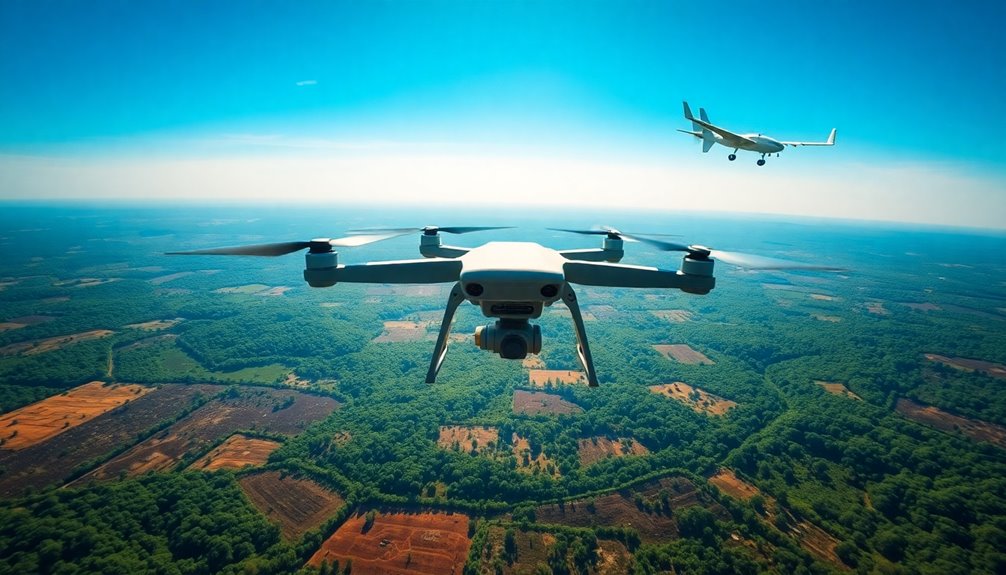
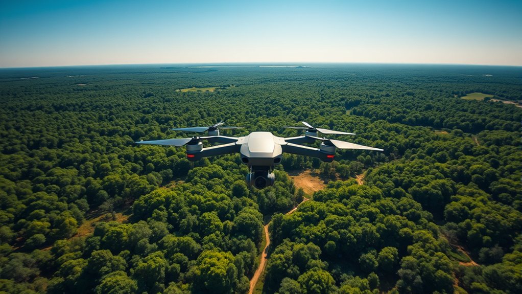
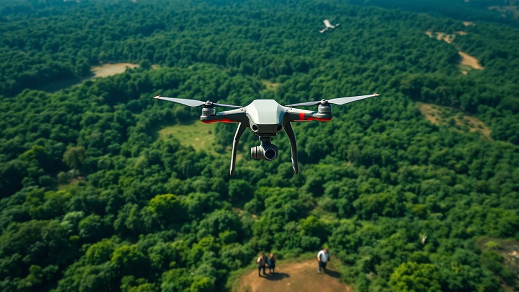
The Role of Drones in Wildlife Monitoring
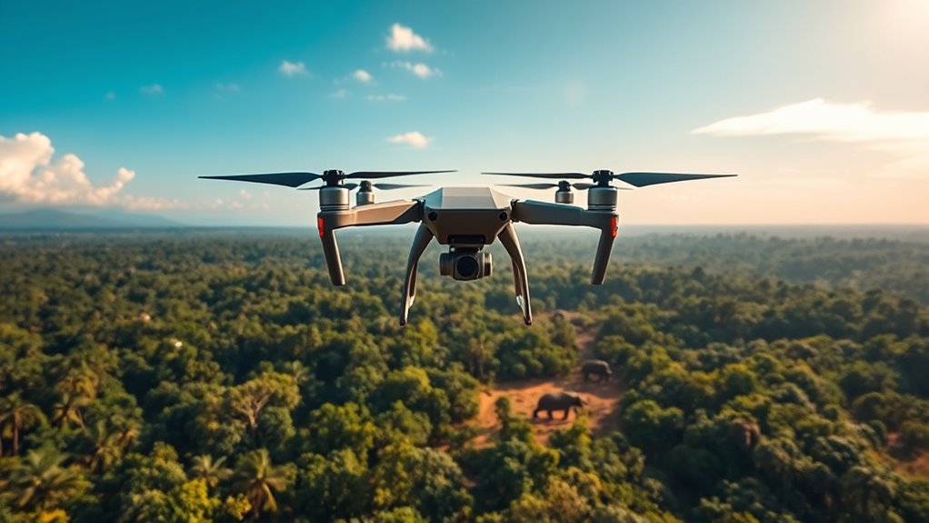
As wildlife populations face increasing threats, drones have emerged as a game-changing tool for monitoring their movements and habitats.
You can use drones to gather real-time data on animal populations, track migrations, and assess environmental changes. They offer a bird's-eye view that's often hard to achieve through traditional methods.
With advanced cameras and sensors, drones capture high-resolution images and videos, allowing you to identify species and monitor their health without disturbing them.
Plus, their ability to access remote areas makes it easier for you to collect data in hard-to-reach habitats.
Satellite Imagery for Environmental Surveillance
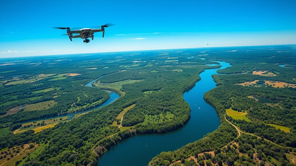
Drones provide valuable insights into wildlife, but satellite imagery takes environmental surveillance to a whole new level.
With high-resolution images, you can monitor vast landscapes, track changes in land use, and assess habitat health over time. This technology allows you to see deforestation, urban development, and even the effects of climate change on a global scale.
By capturing images across different wavelengths, satellite imagery helps you identify vegetation types, water bodies, and other crucial elements of ecosystems. You can also detect illegal activities, like poaching or logging, in near real-time.
Satellite imagery captures diverse wavelengths, revealing vegetation, water bodies, and detecting illegal activities like poaching in real-time.
Utilizing satellite data enhances your understanding of environmental trends, enabling more effective conservation strategies and decision-making for the future. Embracing this tech makes your conservation efforts more impactful.
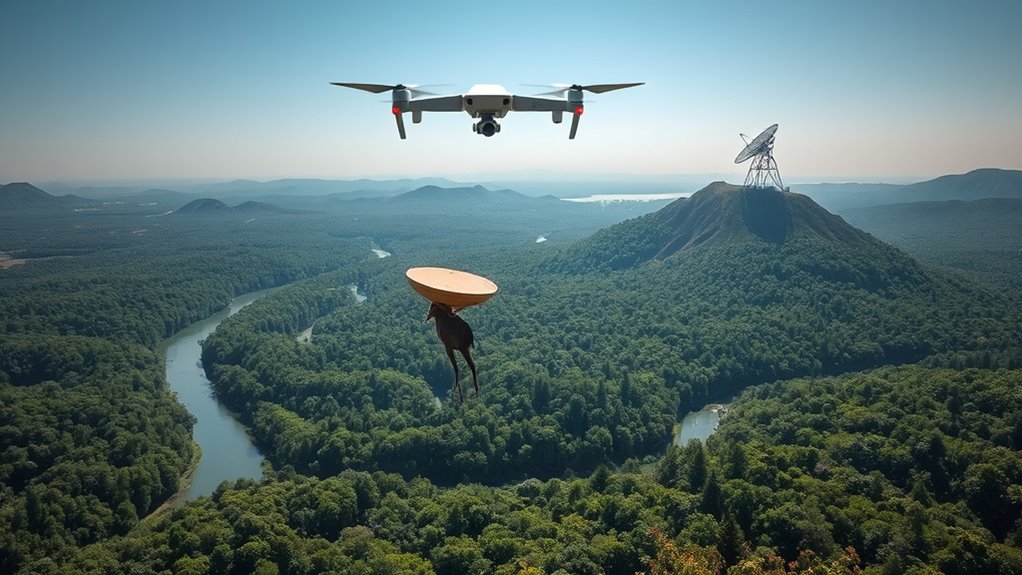
Tracking Animal Movements With GPS Technology

While understanding animal movements is crucial for conservation efforts, GPS technology has revolutionized how researchers track wildlife in real time.
By attaching lightweight GPS collars or tags to animals, you can monitor their movements, behaviors, and habitats with unprecedented accuracy. This real-time data allows you to identify migration patterns, breeding grounds, and habitat use.
You'll gain insights into how different species interact with their environments, which can inform conservation strategies. Additionally, GPS tracking helps you respond quickly to threats, such as poaching or habitat loss.
With this technology, you're not only enhancing your understanding of wildlife but also actively contributing to efforts that protect endangered species and preserve biodiversity for future generations.
Drones in Reforestation Efforts
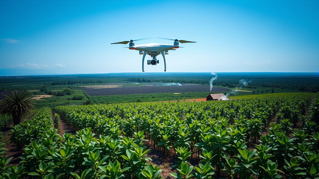
Reforestation is gaining a powerful ally in the form of drones, which are transforming how we restore forests.
You'll find these flying machines can efficiently plant seeds over large areas, making reforestation faster and more cost-effective. Equipped with advanced technology, drones can analyze terrain and identify the best locations for planting. This precision helps ensure higher survival rates for young trees.
Plus, drones can access hard-to-reach areas, bringing restoration efforts to places traditional methods can't reach. By monitoring growth and health, you can track the success of your reforestation efforts in real-time.
As you embrace drone technology, you're not just planting trees; you're fostering a healthier ecosystem for future generations.
Utilizing Remote Sensing for Habitat Mapping
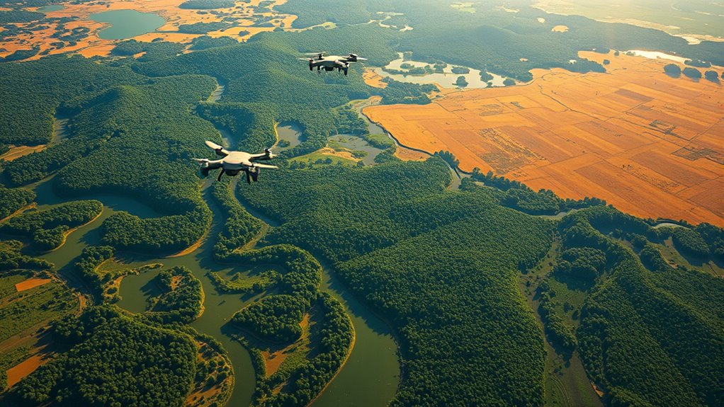
As you explore the potential of remote sensing for habitat mapping, you'll discover a revolutionary approach to understanding ecosystems.
By utilizing satellite imagery and aerial data, you can accurately assess land cover, vegetation types, and wildlife habitats. This technology allows you to gather vast amounts of information quickly, enabling you to identify changes in ecosystems over time.
Utilizing satellite imagery and aerial data enables swift, accurate assessments of ecosystems, revealing vital changes in habitats over time.
You'll be able to pinpoint critical habitats, monitor biodiversity, and detect environmental threats like deforestation or urbanization.
Additionally, remote sensing helps you create detailed maps that guide conservation efforts and land management decisions.
With this powerful tool, you can enhance your understanding of ecological dynamics and contribute to more effective conservation strategies, ensuring a healthier planet for future generations.
The Impact of Conservation Technologies on Research
Remote sensing isn't just transforming habitat mapping; it's also reshaping how researchers approach conservation.
You'll find that technologies like drones and satellites allow you to collect data faster and more accurately than traditional methods. This means you can monitor ecosystems in real-time, track changes, and assess the impact of conservation efforts with ease.
With advanced analytics, you can identify trends and make informed decisions based on solid evidence. Plus, these tools help you access remote or difficult terrains, opening up new research possibilities.
By integrating conservation technologies into your work, you're not only enhancing your research capabilities but also contributing to more effective conservation strategies that can adapt to ongoing environmental changes.
It's a game changer for the field.
Community Involvement in Conservation Initiatives
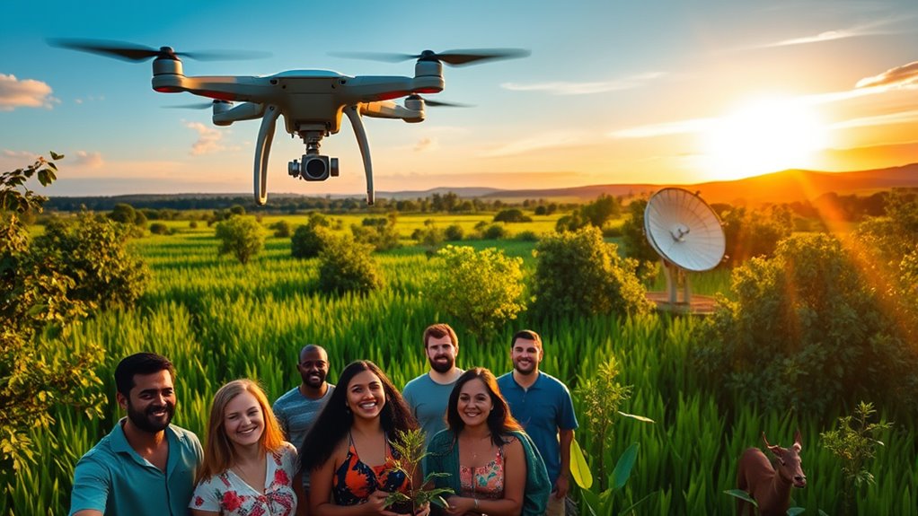
While many conservation efforts focus on scientific data and technology, community involvement plays a crucial role in fostering sustainable practices.
When you engage with local communities, you tap into a wealth of knowledge and passion for the environment. People living in these areas often hold valuable insights into local ecosystems and can help identify the most pressing conservation needs.
Encouraging community participation in initiatives, like tree planting or wildlife monitoring, strengthens relationships and builds a sense of ownership. By partnering with local groups, you not only empower them but also create a collective impact that technology alone can't achieve.
Together, you can develop effective strategies that resonate with the community, ensuring the longevity of conservation efforts for future generations.
Challenges and Limitations of Conservation Technologies
Community involvement is vital for successful conservation, but it's important to recognize that conservation technologies also face challenges and limitations.
You might encounter issues like high costs, which can restrict access to advanced tools, especially in developing regions. Data privacy concerns may arise when using drones and satellites, making stakeholders wary. Additionally, these technologies often require specialized training, and not everyone has the time or resources to learn.
There's also the risk of overlooking local knowledge, as tech solutions might miss vital context. Environmental conditions can hinder effectiveness, too; for instance, dense forests can obstruct satellite signals.
Balancing tech with traditional methods is essential to maximize impact and ensure that conservation efforts truly benefit the communities involved.
Future Trends in Conservation Technologies
As technology evolves, conservation efforts are poised to benefit from innovative tools and approaches that enhance efficiency and effectiveness.
You'll see an increase in AI-driven data analysis, which allows for real-time monitoring of ecosystems and wildlife. Drones will become even more sophisticated, enabling precise mapping and surveying in hard-to-reach areas.
Moreover, satellite imagery will improve, offering detailed insights into habitat changes and deforestation. Virtual reality could become a game-changer, helping you engage communities in conservation efforts by immersing them in their local environments.
Lastly, blockchain technology may offer transparent funding and resource tracking, ensuring that conservation projects receive the support they need.
Embrace these trends, and you'll be part of a transformative movement in conservation.
Frequently Asked Questions
How Much Do Conservation Technologies Typically Cost to Implement?
When considering the cost to implement conservation technologies, you'll find it varies widely based on the type and scale of the project.
Smaller initiatives may start around a few thousand dollars, while larger systems can reach hundreds of thousands.
Factors like equipment, training, and ongoing maintenance play a significant role in overall expenses.
It's essential to assess your specific needs and budget to determine what fits best for your conservation goals.
What Are the Ethical Concerns Surrounding the Use of Drones in Conservation?
When you think about using drones in conservation, several ethical concerns arise.
You might worry about privacy issues, as drones can intrude on personal spaces without consent. There's also the potential for data misuse, where sensitive information could be exploited.
Additionally, you may question the impact on wildlife, as drones might disturb habitats or stress animals.
Balancing technological advancements with ethical considerations is crucial for responsible conservation efforts.
How Do Conservation Technologies Affect Local Communities and Economies?
You might think conservation technologies are like magic wands that solve every problem, but they can really shake things up in local communities and economies.
While they create jobs and boost eco-tourism, they can also disrupt traditional livelihoods.
You'll see some people embracing new opportunities while others struggle to adapt.
Balancing innovation and community needs is crucial, so everyone can thrive, not just the tech-savvy few.
It's a wild ride, for sure!
What Training Is Needed to Operate Conservation Technology Effectively?
To operate conservation technology effectively, you'll need a mix of technical skills and environmental knowledge.
Start by taking courses in data analysis, remote sensing, or GIS. Familiarize yourself with the specific tools you'll use—whether it's drones or software. Hands-on training is crucial, so seek internships or workshops.
Additionally, understanding local ecosystems and community needs can enhance your effectiveness, ensuring you make a positive impact while using these advanced technologies.
Are There Any Legal Restrictions on Using Drones for Conservation Purposes?
When it comes to using drones for conservation, remember that "you can't have your cake and eat it too."
There are legal restrictions you need to navigate. Rules vary by country and region, often requiring permits for flight in certain areas, especially near wildlife or private property.
You'll want to familiarize yourself with local regulations, ensuring you're compliant while maximizing your drones' potential for conservation efforts.
Always prioritize safety and legality in your operations.
Conclusion
As we soar into the future of conservation, the fusion of technology and nature becomes our guiding compass. Drones dance above the treetops, satellites paint the Earth's canvas, and GPS whispers secrets of wildlife. These innovations aren't just tools; they're lifelines for our planet's fragile ecosystems. By embracing these advancements, you're not just a witness to change—you're a vital part of it. Together, let's cultivate a greener tomorrow, where every heartbeat of nature resonates with hope.