TL;DR

Get school and study supplies delivered free — and shop member deals
- Fast, free delivery on millions of items
- Access to Prime Big Deal Days deals on October 6–7
- Prime Video, Amazon Music and more included
NASA’s Earth Observatory published Landsat images from July 2 and September 21, 2026, showing crops changing from green to brown in the Carrot River Valley, Manitoba’s northernmost agricultural area. The region’s more than 40,000 hectares of farmland sit amid the wetlands of the Saskatchewan River Delta and rely on dikes and pumping for flood protection.
NASA’s Earth Observatory has published Landsat images from July and September 2026 showing the shift from green crops to brown fields in the Carrot River Valley, an agricultural area west of The Pas that is Manitoba’s northernmost. The farmland covers more than 40,000 hectares amid the wetlands of the Saskatchewan River Delta, where farming depends on dikes and pumping to manage flood risk.
The images were captured by the Operational Land Imager on Landsat 9 on July 2 and Landsat 8 on September 21. NASA’s account describes the valley as an “island” of straight-edged fields surrounded by the delta’s winding waterways, lakes and marshes. The farmland lies between the Carrot and Pasquia rivers, tributaries of the Saskatchewan River, and near the Saskeram Wildlife Management Area.
The July image shows green crops across many fields. By the September image, their appearance had changed as the growing and harvest season progressed. NASA reported that planting began later in the valley than in parts of Manitoba Agriculture’s Northwest crop reporting region to the south because of wet conditions. The report says fertile soils and long summer days at the area’s northern latitude can support rapid crop growth.
The 2026 annual crop inventory had not been released by late September, so the crop mix for this season was not yet available in that inventory. NASA cited the 2025 inventory as showing that fields in the valley were planted mostly with canola and spring wheat, with smaller patches of Canary seed. The Landsat data also contribute to Agriculture and Agri-Food Canada’s annual crop inventory.
Farming Amid Delta Wetlands
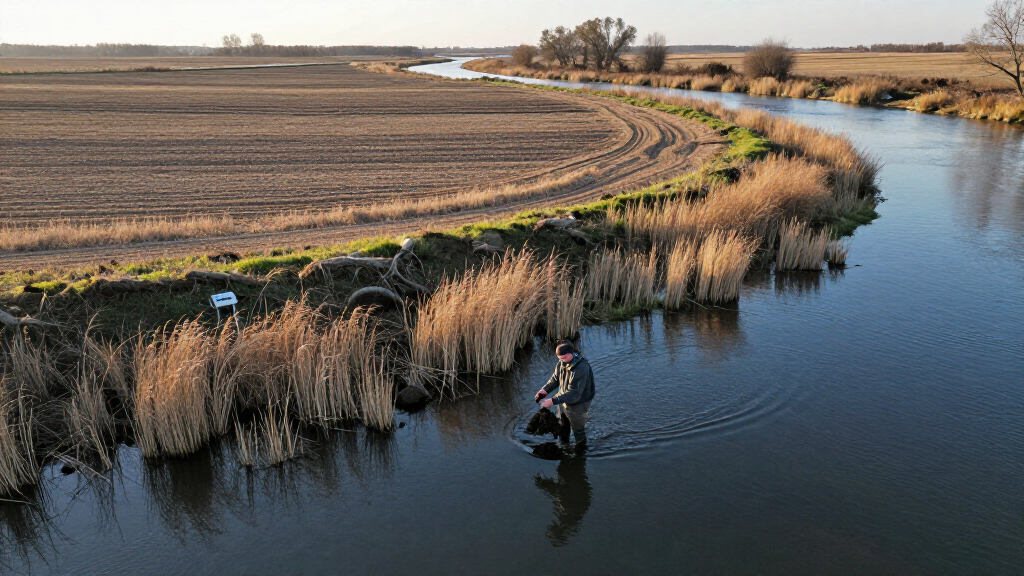
The images highlight the practical tension between agriculture and a wetland landscape: the valley’s fields are concentrated in a defined area, while marshes and waterways surround them. Farming in the region is not simply a matter of planting and harvesting; according to NASA, it continues to depend on diking and pumping for agricultural flood protection.
Seasonal satellite observations can show how the landscape changes over the growing season, while the annual crop inventory provides information on what is being grown. Together, these records offer a view of a northern farming area where wet conditions affect the timing of work and water management remains central. The images alone do not establish crop yields, farm income or the wider ecological effects of agriculture.
flood protection dike for farmland
As an affiliate, we earn on qualifying purchases.
As an affiliate, we earn on qualifying purchases.
A Long History of Water Control
The Carrot River Valley, also known as the Pasquia Area Settlement, is within the Rural Municipality of Kelsey. It occupies part of the Saskatchewan River Delta, an inland delta spanning Saskatchewan and Manitoba. Much of the delta is too wet for extensive farming, which makes the valley’s broad, regular fields stand out against the surrounding marshes and channels.
NASA reports that a major flood-control and drainage project began in the 1950s. The area’s current agricultural flood protection still relies on dikes and pumping. This history helps explain why the farmland appears as a distinct cultivated area within a landscape shaped by water.
Weather also influenced the timing described in the report. The Pas recorded 1.6 millimeters of rain in the week before the September image, while other parts of the Northwest region received as much as 43.9 millimeters. NASA said the wetter conditions elsewhere held up harvest. By that point, farmers across the region had harvested about 10 percent of canola and 50 percent of spring wheat; those figures describe the regional progress reported at that time, not the valley alone.
As an affiliate, we earn on qualifying purchases.
Crop Details Still Pending
The 2026 crop inventory was not available as of late September, so the precise crop mix in the valley this year remains unconfirmed in the cited inventory. The 2025 crop map cannot establish what was planted in 2026, and the images do not provide a direct measure of yields or final harvest totals.
The report gives rainfall and harvest-progress figures for The Pas and the wider Northwest crop reporting region, respectively. It does not specify the valley’s own harvest percentage by crop. Nor does it quantify how much the wet conditions delayed planting or harvest, or provide details on the operation and condition of individual dikes and pumping systems.
water pumping systems for agriculture
As an affiliate, we earn on qualifying purchases.
As an affiliate, we earn on qualifying purchases.
Awaiting the 2026 Crop Inventory
The next detailed public reference for the season’s crop mix will be Agriculture and Agri-Food Canada’s 2026 annual crop inventory, which NASA said had not been released by late September. The September 21 satellite image records conditions on a particular date; it does not establish when harvest was completed or what final production was.
Further updates to regional crop reports or later satellite observations could clarify how the harvest progressed after the image was taken. Until those details are available, the confirmed account is limited to the two image dates, the reported regional weather and harvest figures, and NASA’s description of the valley’s ongoing reliance on flood protection.
wetland flood management equipment
As an affiliate, we earn on qualifying purchases.
As an affiliate, we earn on qualifying purchases.
Key Questions
Where is the Carrot River Valley?
It lies west of The Pas, Manitoba, within the Rural Municipality of Kelsey and between the Carrot and Pasquia rivers.
What do the 2026 satellite images show?
The Landsat images, captured on July 2 and September 21, show fields that were green in July and had turned largely brown by September as the growing season advanced.
What crops were grown in the valley?
The 2026 crop inventory was not available by late September. The 2025 inventory showed mostly canola and spring wheat, with small patches of Canary seed; that does not confirm the 2026 crop mix.
How does the area manage flood risk?
NASA reports that farming in the valley depends on diking and pumping for agricultural flood protection. A major flood-control and drainage project began in the 1950s.
How much had been harvested by September?
NASA reported that farmers across Manitoba’s Northwest crop reporting region had harvested about 10 percent of canola and 50 percent of spring wheat by the time of the September image. The report does not give separate harvest percentages for the Carrot River Valley.
Source: primary
Halloween Picks
halloween
As an affiliate, we earn on qualifying purchases.